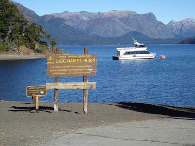
Nahuel Huapi Lake (Lago Nahuel Huapí) is a lake in the lake region of northern Patagonia between the provinces
of Río Negro and Neuquén, in Argentina. The lake depression consists of several glacial valleys carved out along faults and Miocene valleys that were later dammed by moraines.
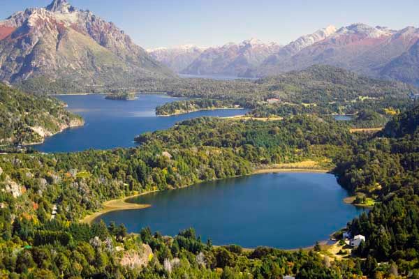
Nahuel Huapi Lake, located within the Nahuel Huapi National Park, has a surface of 529 km² (204 sq mi), rests 2,510 feet (770 m) over the sea level, and has a maximum measured depth (as of 2007) of 1,437 feet (438 m).
The June 2011 eruption of the Puyehue-Cordón Caulle volcanic complex, in neighboring Chile, caused parts of the lake's surface to be blanketed in volcanic ash.
Its seven branches are named Blest (36 km²), Huemul (21.5 km²), de la Tristeza (18.5 km²), Campanario (7.9 km²), Machete, del Rincón and Última Esperanza. It is connected to other smaller lakes such as Gutiérrez, Moreno, Espejo and Correntoso. The deep-blue waters hold a number of islands, most notably Isla Victoria with 31 km². The name of the lake derives from the toponymy of this island in Mapudungun (Mapuche language): "Island of the Jaguar (or Puma)", from nahuel, "puma (or jaguar)", and huapí, "island". There is, however, more to the word "Nahuel" - it signifies "a man who by sorcery has been transformed to a puma" (or jaguar).
Source: Wikipedia
No comments:
Post a Comment