
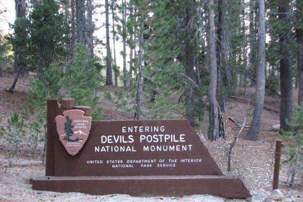
Devils Postpile National Monument is located near Mammoth Mountain in extreme northeastern Madera County in eastern California, United States.
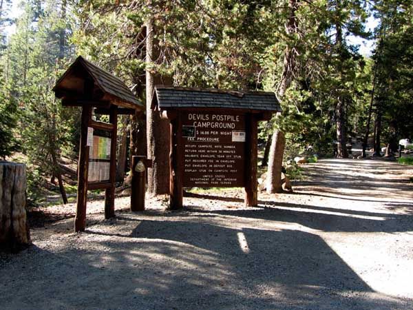
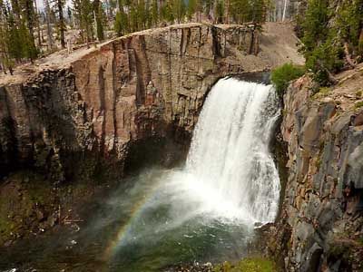
The national monument protects Devil's Postpile, an unusual rock formation of columnar basalt. Devils Postpile National Monument encompasses 798 acres (323 ha) and includes two main tourist attractions: the Devil's Postpile formation and Rainbow Falls, a waterfall on the Middle Fork of the San Joaquin River. In addition, the John Muir Trail and Pacific Crest Trail merge into one trail as they pass through the monument. Excluding a small developed area containing the monument headquarters, visitor center and a campground; the National Monument lies within the borders of the Ansel Adams Wilderness.
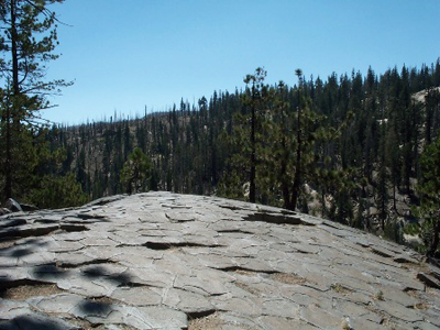
The name "Devil's Postpile" refers to a dark cliff of columnar basalt. Radiometric dating indicates the formation was created by a lava flow at some time less than 100,000 years ago. The source of the lava is thought to have been somewhere near Upper Soda Springs campground at the north end of Pumice Flat on the floor of the Middle Fork of the San Joaquin River, from where it flowed to the site of the Postpile. Estimates of the formations thickness range from 400 feet (120 m) to 600 feet (180 m). The lava that now makes up the Postpile was near the bottom of this mass.
No comments:
Post a Comment