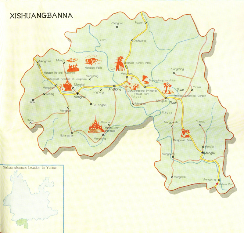
A tropical spread of rainforests, plantations and paddy fields nestled 750 km southwest of Kunming along the Burmese and Laotian borders,
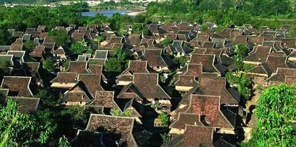
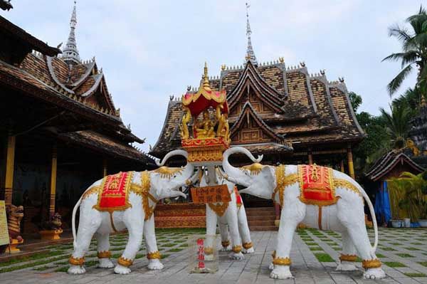
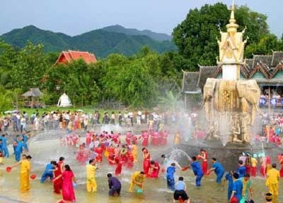
Xishuangbanna (西双版纳, xishuangbannà) has little in common with the rest of provincial China. Foremost of the region’s many ethnic groups are the Dai, northern cousins to the Thais, whose distinctive temples, bulbous pagodas and saffron-robed clergy are a common sight down on the plains, particularly around Jinghong, Xishuangbanna’s sleepy capital. The region’s remaining 19,000 square kilometres of hills, farms and forest are split between the administrative townships of Mengla in the east and Menghai in the west, peppered with villages of Hani, Bulang, Jinuo, Wa and Lahu; remoter tribes are still animistic, and all have distinctive dress and customs. Cultural tourism aside, there are plenty of hiking trails and China’s open border with Laos to explore.
Xishuangbanna’s emphatically tropical weather divides into a dry stretch between November and May, when warm days, cool nights and dense morning mists are the norm; and the June–October wet season, featuring high heat and torrential daily rains.
No comments:
Post a Comment