Holiday Resolution
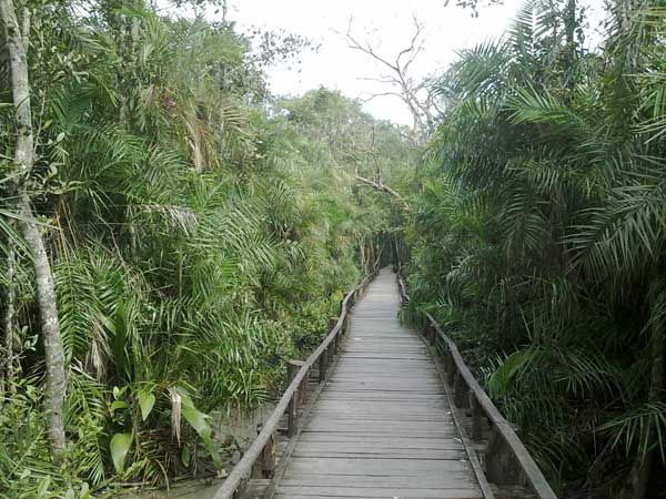
The Sundarbans ( সুন্দরবন ) consist of three wildlife sanctuaries (Sundarbans West, East and South) lying on disjunct deltaic islands just west of
the main outflow of the Ganges, Brahmaputra and Meghna rivers, close to the border with India.
The sanctuaries are intersected by a complex network of tidal waterways, mud flats and small islands of salt tolerant mangrove forests. The area is flooded with brackish water during high tides which mix with freshwater from inland rivers.
The larger channels are often a kilometre or two wide and generally run in a north-south direction. Rivers tend to be long and straight, a consequence of the strong tidal forces and the easily eroded clay and silt deposits. But apart from Baleswar River the waterways carry little freshwater as they are cut off from the Ganges, the outflow of which has shifted from the Hooghly-Bhagirathi channels in India progressively eastwards since the 17th century. They are kept open largely by the diurnal tidal flow.
Source: whc.unesco.org


No comments:
Post a Comment